Six groundbreaking engineering projects combining satellite technology with artificial intelligence systems have received £1.5 million in development funding to address climate monitoring, transport network optimisation, and accessibility challenges across Britain.
The projects, supported through the UK Space Agency’s Unlocking Space for Business programme, demonstrate how space-based data integration can create scalable solutions for complex engineering problems.
The funded projects bridge multiple engineering disciplines, from maritime emissions monitoring to railway electrification planning, each addressing specific technical challenges where traditional ground-based data collection methods have proven insufficient or economically unfeasible. These developments will improve how engineers approach environmental monitoring, infrastructure planning, and accessibility design.
Ether Capital’s project focuses on developing a real-time carbon risk dashboard engineered explicitly for the shipping industry. The system integrates satellite tracking data with advanced artificial intelligence algorithms to provide immediate insights into emissions for maritime vessels. The technical approach combines Automatic Identification System (AIS) data from satellites with machine learning models trained to estimate fuel consumption and emissions based on vessel characteristics, speed, and operational patterns.
The engineering challenge lies in processing vast quantities of satellite data in real-time while maintaining accuracy sufficient for regulatory compliance. Maritime finance institutions, insurers, and vessel operators require emissions data that is accurate to within specific tolerances set by International Maritime Organisation regulations. The system must handle data from thousands of vessels simultaneously, each generating continuous updates on position and operational status.
If successful, this technology should enable automated emissions reporting that currently requires manual data collection and processing. The platform would need to account for various vessel types, propulsion systems, and operational conditions that affect emissions profiles. Engineers working on the project must also address data latency issues inherent in satellite communications and develop algorithms capable of filling data gaps when satellite coverage is temporarily unavailable.
Engineering Deep Dive: How Satellite-Based Environmental Monitoring Works
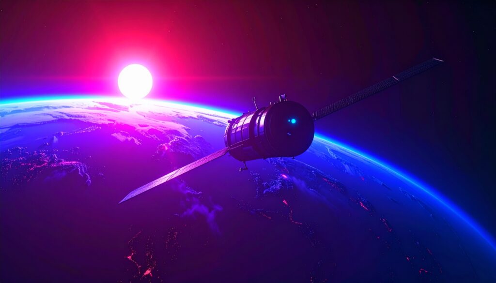
Understanding how engineers combine satellite technology with AI for environmental monitoring requires examining several interconnected systems. At the core, Earth observation satellites equipped with various sensors orbit the planet, collecting data across different electromagnetic spectra. These satellites use synthetic aperture radar (SAR), multispectral imaging, and thermal sensors to capture surface conditions, atmospheric composition, and heat signatures.
The engineering process begins with data acquisition. Satellites in low Earth orbit, typically at altitudes between 400 and 800 kilometres, use onboard sensors to capture raw data. For emissions monitoring, engineers rely on spectrometers that measure specific wavelengths absorbed by greenhouse gases. Carbon dioxide absorbs infrared radiation at 4.26 and 14.99 micrometres, while methane shows strong absorption at 3.3 and 7.7 micrometres. By measuring the intensity of reflected sunlight at these wavelengths, satellites can determine the concentrations of gases in the atmosphere.
The raw satellite data undergoes several preprocessing steps. Engineers must correct for atmospheric interference, cloud cover, and sensor calibration drift to ensure accurate measurements. This involves applying radiometric corrections to account for varying illumination conditions and geometric corrections to align images with ground coordinates. The corrected data then feeds into machine learning models.
These AI systems utilise convolutional neural networks (CNNs), which are designed explicitly for spatial data analysis. The networks contain multiple layers that progressively extract features from satellite imagery. Early layers may detect edges and basic patterns, while deeper layers identify more complex structures, such as ships, buildings, or patterns in vegetation. For emissions monitoring, the networks learn to correlate visible features with emissions profiles based on training data from ground-based measurements.
Engineers chose this satellite-AI combination over ground-based monitoring for several reasons. Traditional monitoring stations provide highly accurate point measurements but are limited in their ability to cover vast areas, such as oceans or remote regions. Satellite systems offer global coverage with consistent measurement methodologies. The challenge lies in achieving sufficient spatial and temporal resolution. Current satellites might revisit the exact location every few days, requiring engineers to develop interpolation algorithms that estimate conditions between observations.
The data processing pipeline must handle enormous volumes-a single high-resolution satellite image can exceed 1 gigabyte, and monitoring systems might process thousands of images daily. Engineers implement distributed computing architectures using cloud services, breaking down enormous datasets into smaller chunks that are processed in parallel. This requires careful optimisation of data transfer protocols and storage systems to minimise latency while maintaining data integrity.
Furrer+Frey’s ECOFAST project addresses the complex engineering challenge of railway electrification planning by combining satellite imagery with AI-powered design optimisation.
Traditional electrification planning requires extensive ground surveys to identify existing infrastructure, assess clearances, and determine the optimal placement for overhead line equipment. This manual process typically takes months and involves significant field engineering resources.
The proposed system would automatically identify railway assets from high-resolution satellite imagery, including track layouts, bridges, tunnels, signals, and existing electrical infrastructure. Computer vision algorithms trained on railway infrastructure datasets would classify these assets and extract precise geometric measurements.
The technology must achieve sub-meter accuracy to meet railway engineering standards for the placement of overhead line equipment. Once assets are mapped, the system generates optimised electrification designs considering multiple engineering constraints. These include minimum electrical clearances (typically 2.75 meters for 25kV AC systems), structural loading limits on existing infrastructure, and power supply requirements based on projected train frequencies and loads. The optimisation algorithms must balance installation costs against operational efficiency, determining optimal locations for substations, neutral sections, and tensioning equipment.
MakeSense Technology’s project utilises artificial intelligence observation data to develop navigation systems specifically designed for visually impaired users. Unlike standard GPS navigation that provides accuracy within 5-10 meters, safe pedestrian navigation for blind users requires sub-meter precision to identify sidewalk boundaries, curb cuts, and obstacles.
The engineering approach combines multiple data sources, including high-resolution satellite imagery, LiDAR elevation data, and street-level imagery, to build detailed 3D models of pedestrian environments. Machine learning algorithms identify and classify pedestrian infrastructure elements such as sidewalks, crosswalks, tactile paving, and potential hazards. The system must process this environmental data to generate routes that prioritise safety and accessibility over the shortest distance.
The technical challenge extends beyond mapping to real-time navigation delivery. The system must provide audio guidance precise enough to keep users safely on sidewalks while avoiding information overload. Engineers must design algorithms that adapt the guidance frequency and detail based on environmental complexity and the user’s walking speed.
Projects from Howden, Rebalance Earth, and Foresight Group focus on translating satellite-derived environmental data into quantifiable financial risk metrics. These systems must bridge the gap between physical environmental measurements and financial modelling frameworks used by insurers and investors.
The engineering challenge involves developing algorithms that can accurately assess biodiversity health, deforestation rates, and land use changes from multispectral satellite imagery. These physical measurements must then be converted into risk scores that align with emerging regulatory frameworks for nature-related financial disclosures. The systems need to process historical satellite data to establish baseline conditions and detect trends that indicate increasing environmental risks.
For biodiversity assessment, engineers must develop proxy measurements since individual species cannot be directly observed from satellites. Instead, the systems analyse habitat quality indicators such as vegetation density, water availability, and landscape fragmentation patterns. Machine learning models trained on ground-truth biodiversity surveys learn to correlate these observable features with species richness and ecosystem health metrics.
The scalability requirements for these financial applications present significant engineering challenges. A single insurance portfolio might include thousands of assets across multiple countries, each requiring regular environmental risk assessment. The systems must process petabytes of satellite data while maintaining audit trails for regulatory compliance.
These six projects represent a broader shift in how engineers use satellites to approach complex societal challenges. By combining space-based observation capabilities with advanced data processing techniques, engineers can develop solutions that were previously technically or economically infeasible just a decade ago. If these projects achieve their technical objectives, they could establish new engineering methodologies for environmental monitoring, infrastructure planning, and accessibility design, extending well beyond their initial applications.